Getting there
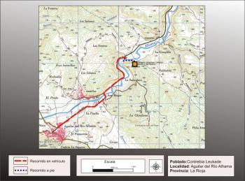
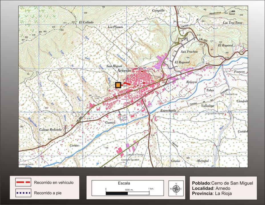
In this hill, situated in the west of Arnett (on the left bank of Cidacos) leads from the City Following General Ruiz Street to the junction with San Miguel to arrive at the foot of the site, being easy to climb .
Situation and location
The hill on which sits the town Celtiberian is of medium height and is located west of the village, about 570m above sea level (about 10-15m above the village and about 40m above the valley floor Cidacos), fronting the Cerro del Castillo, situated to the east.
Research
This site has been known since mid-century XX. The current excavation work began in 2004, driven by the city of Arnedo, in collaboration with the Government of La Rioja and directed by archaeologist David Eguizabal.
Phases of occupation
- A former occupation, which corresponds to the Late Bronze Age-First Hierro, IX-VII century a. C.
- A second occupation, vintage celtiberica, VI and III century a. C.
- A cemetery for the High Middle Ages, which may be related to the oldest man-made caves carved into the rocky southern face of the hill or the Monastery of San Miguel, quoted already in the s. XI.
Of these three phases, the excavations provide a better understanding of Celtic-Iberian settlement.
VISIT TO TOWN
The site has been fenced and protected and is considering the conservation of the different structures excavated, and the launch of an educational project for presentation (see contacts and schedules).
Settlement characteristics:
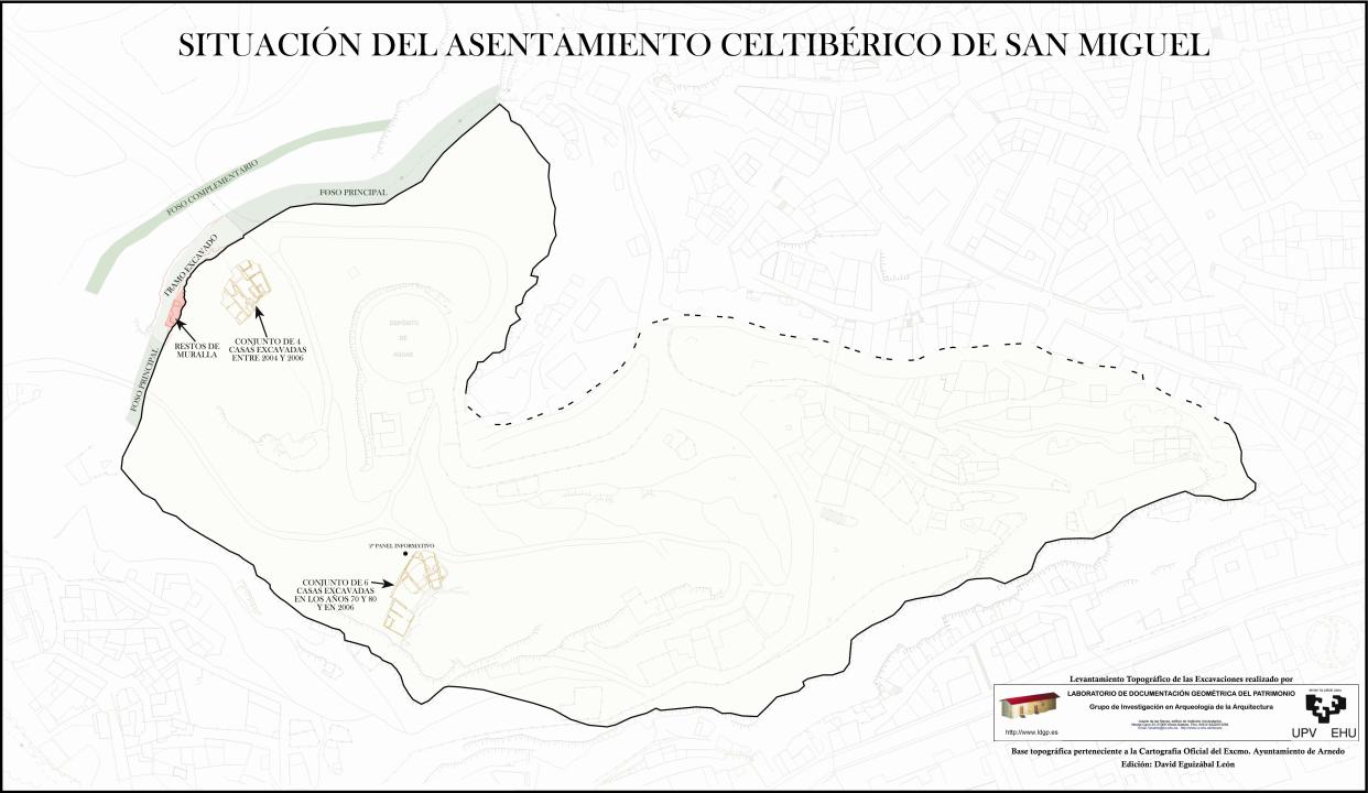
The southern half of the hill is a deep vertical cut that protected the town from this side, littered with artificial caves, which can have a long tradition, even from the early Middle Ages (perhaps related to the necropolis of the time), which followed well as occupying houses or warehouses until the present time.
The village, using the slope of the other sides, was organized in successive terraces, to settle the various alignments of houses and thus save the slope, occupying an area of ??about 8 hectares, which aims to oppidum or city size.
The defensive system:
-The wall
The village was surrounded by a wall, which was discovered first, just over 8m long and 3m wide. It was built with two canvases, one internal and one external, made ??with large stones and in between filling of small stones and earth. These defenses often have a base of about 3m or 3.5 m in height and a narrower upper parapet, made ??with wooden poles and bricks, leaving a corridor to walk the perimeter wall in cough.
"Two pits
In front of the wall to strengthen its defense built a large pit dug in the natural coat, about 14m wide and about 5m deep.
- The interior space: Have been excavated remains of ten houses, four along the walls and six further south. They are rectangular, with walls of stone, plaster screeds adobe and mud plaster, with the smooth floor of beaten earth. The roof was framed masera plant and probably thatched mud and blanketed. Were compartmentalized into three areas or rooms:
- The first served as a corral for animals such as goats, sheep and chickens.
- The second room was in the home center, where they cooked and served to sleep and family reunion.
- The third stay at the back, served as a warehouse to store all processed foods in the home and other resources and work tools.
He has recovered a large volume of objects, among which fine ceramics and metallic objects such as weapons and domestic utensils and agricultural, which must be related to cereal grains and other vegetables found, which together with faunal remains indicates the food base was agriculture and livestock.
-Relationship and chronology:
The situation of this hill in the valley of Cidacos connecting the Ebro Valley (way for the arrival of Mediterranean products) in the Alto Douro explains the presence in its material culture within both areas.
The highlight of the occupation of this town would correspond to an advanced world time Celtiberian (III-II century BC).
Bibliography
- Eguizabal, D. (2009): The Celtiberia in Arnett. The Cerro de San Miguel. Exhibition Brochure (February 19 to June 16). Centro Cultural Caja Rioja, Arnedo.
Contacts and schedule
The site has been fenced and protected and is considering the conservation of the different structures excavated, and the launch of an educational project for presentation.
-Arnedo Tourist Office:
- Paseo de la Constitucion, 62. Baroness Palace. 26580
- Phone: 941 383988
- Fax: 941 383164
- arnedo@lariojaturismo.com
- Hours: Summer, Monday to Saturday from 10 to 14 and from 16.30 to 19h
- Sunday 11 to 14h
- Winter, Tuesday through Saturday from 10 to 14 and from 16.30 to 19h
- Sundays from 11 to 14. (closed Mondays)