Roman historians describe celtibérica area as "rugged, mountainous and usually sterile, " conditioned by the harsh climate with strong frosts and heavy snow, and terrible wind-swept north, called "cizicus" (north wind).
Although there is disagreement among historians of antiquity can be inferred from their news, referring to the second and first centuries BC, which gives the name of Celtiberia the territory located in the mountainous ridge which fit the Iberian and Central mountain ranges and surrounding areas, which divides down the river Tagus, Ebro and Duero, ie the eastern part of the Northern Plateau and the right side of the middle basin of the Ebro Maximum length bounded by the nicknames would end with cited some cities: Clunia, Celtiberia finis; Ercávica, caput and Contrebia celtiberiae, caput gentis celtiberorum.
Citerior Celtiberia differ, higher agricultural potential and basic wealth, more open to outside influences mainly from the Iberian Mediterranean, the Celtiberia Further, limited to the Alto Douro, predominantly cattle and more marginalized from the economic focus and key roads.
A source or important resource for the classic authors is related to iron and argentífera wealth of Moncayo, as Posidonius, Marcial and Justin praise the quality of the steel tempered in the waters of rivers Celtiberian. Its special characteristics led the Roman army to take the sword peninsula, "hispaniensis gladius. "

 Museums and exhibitions
  Aragón
 Castilla La Mancha
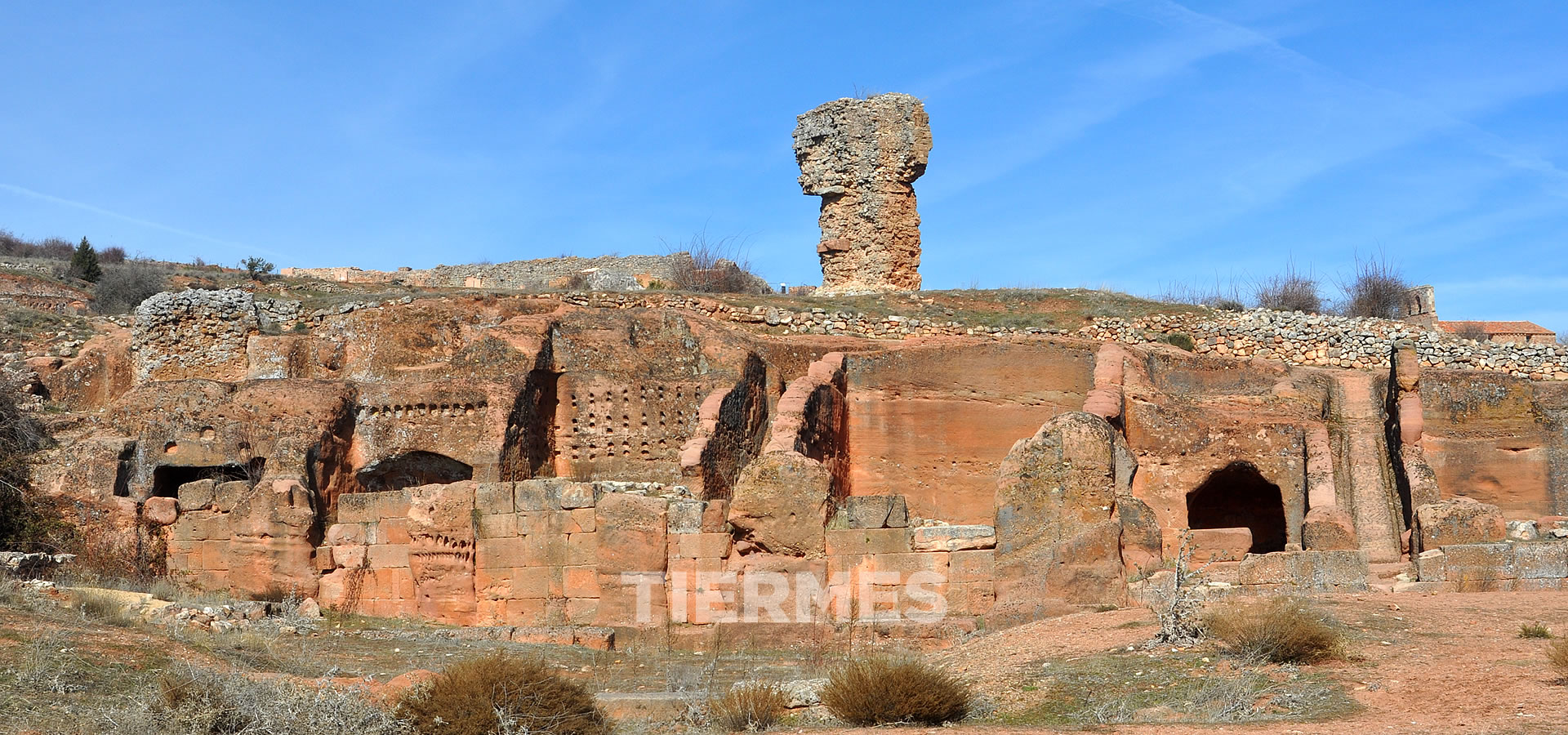
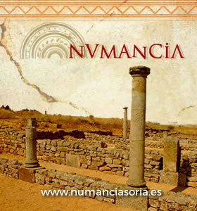
 Castilla y León
 La Rioja
 Navarra